The tropical Pacific is experiencing one of the most powerful El Niño events ever recorded, and meteorological agencies indicate it has not yet reached its peak. On Thursday, the US National Oceanic and Atmospheric Administration (NOAA) reported a strong-to-very strong El Niño is likely through January–March 2027, with a probability exceeding 79%.
Sea surface temperatures in the key monitoring region were 2.5°C above average in October, according to NOAA's Climate Prediction Center. The agency also estimates a 60% chance that this winter will produce a 'historic event'—stronger than any El Niño since 1950. Such conditions have global implications, as El Niño shifts rainfall patterns across continents.
Understanding El Niño
El Niño represents the warm phase of the El Niño–Southern Oscillation (ENSO), a natural climate cycle. Normally, trade winds push warm water westward across the equatorial Pacific, concentrating it near Indonesia and fueling heavy rainfall there. Cold, nutrient-rich water upwells off South America's coast. During El Niño, these winds weaken or reverse, allowing warm water to spread eastward, shifting the rain belt and suppressing the Peruvian upwelling.
NOAA declares El Niño when sea temperatures in the Niño 3.4 region remain at least 0.5°C above average for several consecutive months. La Niña is the opposite phase, with temperatures at least 0.5°C below average. Since February, NOAA has used a relative index (RONI) that adjusts for general tropical ocean warming, allowing fair comparisons across events.
Current Strength and Forecast
El Niño was officially declared on 11 June and has strengthened steadily. NOAA's relative index reached +1.97°C for August–October, just below the +2.07°C recorded during the same period in 1997. The highest three-month reading in NOAA's records is +2.40°C from December 1982 to February 1983. On the traditional index, the August–October reading of +2.46°C is already the highest for that season since 1950.
NOAA's median forecast projects the relative index peaking at about +2.53°C in November–January, which would surpass the 1983 record, before weakening in early 2027. Australia's Bureau of Meteorology reported on 10 November that all models it assesses show the warming peaking in November or December, with El Niño levels persisting into the southern hemisphere autumn. The World Meteorological Organization (WMO) stated in September a near-100% chance of El Niño lasting through February 2027—the first time one of its updates has been so unequivocal. NOAA's probabilities indicate El Niño fading to a 38% chance by April–June, when neutral conditions become most likely.
Global Concerns: Heat, Costs, and Food Security
The primary worry is heat, as El Niño releases ocean heat into an atmosphere already warmed by human activity. The EU's Copernicus climate service reported on 11 November that October 2026 was the warmest October on record, at 1.75°C above pre-industrial levels. It said 2026 is virtually certain to be only the second calendar year above 1.5°C, after 2024. The largest temperature effect typically occurs the following year; Carbon Brief projects 2027 at about 1.7°C above pre-industrial levels, with a 96% chance of being the warmest year on record.
The economic cost is also significant. A 2023 study in Science by Dartmouth researchers estimated global income losses of $4.1 trillion and $5.7 trillion in the five years following the 1982–83 and 1997–98 El Niños. IMF Managing Director Kristalina Georgieva told AFP in October that the fund was preparing to support vulnerable countries, citing concerns about food security and inflationary pressures from food prices.
Regional Impacts on Agriculture
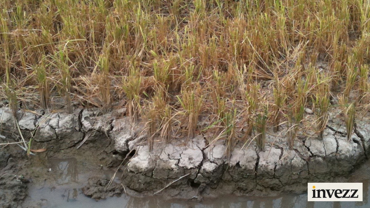
El Niño typically brings drought to India, Southeast Asia, eastern Australia, southern Africa, and northern South America, while increasing rainfall in the southern US, coastal Peru and Ecuador, and parts of South America. Many of these patterns are already evident. India's June–September monsoon delivered only 87% of its long-period average, the fourth-lowest since 2001, according to the India Meteorological Department. Southern Africa's regional climate forum expects below-normal rain across much of the region through March, posing a risk to maize, a staple crop.
In Central America, subsistence farmers lost more than 75% of their first maize and bean harvests, the EU's Joint Research Centre reported on 10 November. Peru cancelled its second anchovy season of 2026 in October after warm water pushed fish deeper; the country supplies up to 20% of the world's fishmeal and fish oil, according to SeafoodSource. Not all regions suffer—Australia's ABARES forecasts a 29.9 million-tonne wheat crop, 3% above the 10-year average, while Argentina and southern Brazil should benefit from wetter conditions.
Food Price Pressures
The FAO Sugar Price Index rose 6.6% in October to its highest level since December 2024, citing problems in Brazil, India, and Thailand. Raw sugar futures for March delivery traded at 18.39 cents per pound on Friday, 27% higher than a year ago. FAO also expects world rice production to fall 2.5% to 552 million tonnes, the first drop in four seasons, partly due to El Niño. US rough rice futures settled at $18.29 per hundredweight on Thursday, about 50% above their level on 11 June.
Policy responses can amplify weather effects; for instance, India banned exports of certain grains during the last El Niño in 2023. As the current event unfolds, investors and policymakers will be watching crop yields and price indices closely.
This article is for informational purposes only and does not constitute financial advice.